Turning upstream data into intelligence you can trust

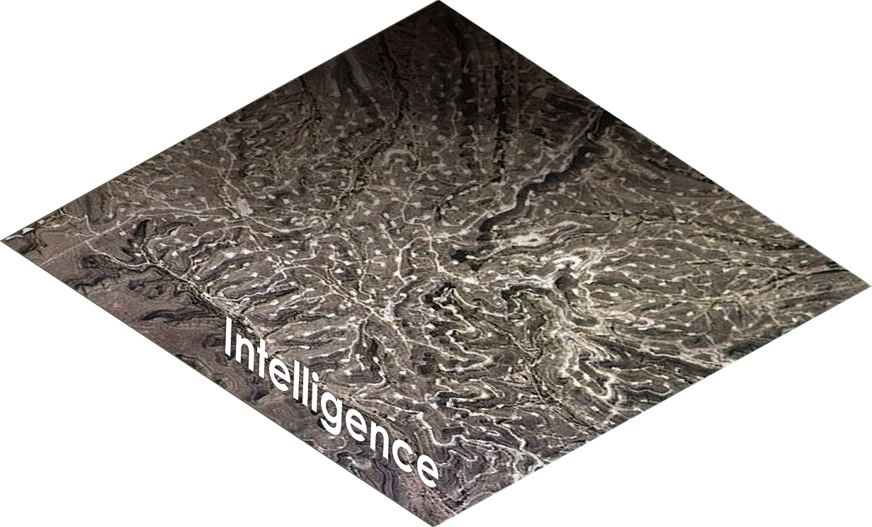
Intelligence Layer
Detect basin-wide activity before it shows up on reports
High-resolution satellite images, updated every 4 hours
AI detects upstream activity and lifecycle phases
Continuous ingestion of state and local public records
Early signals that precede traditional reporting

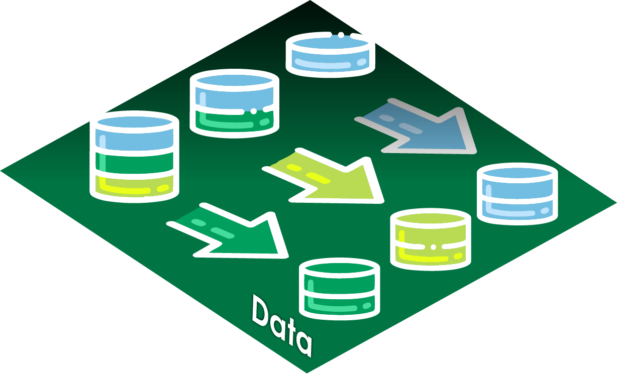
Data Layer
Break down data silos without forcing to a single schema
Direct connections to internal, third-party, and public data
Supports structured, semi-structured, and unstructured data
Context-aware normalization across basins and jurisdictions
Continuous updates instead of one-time ingestion

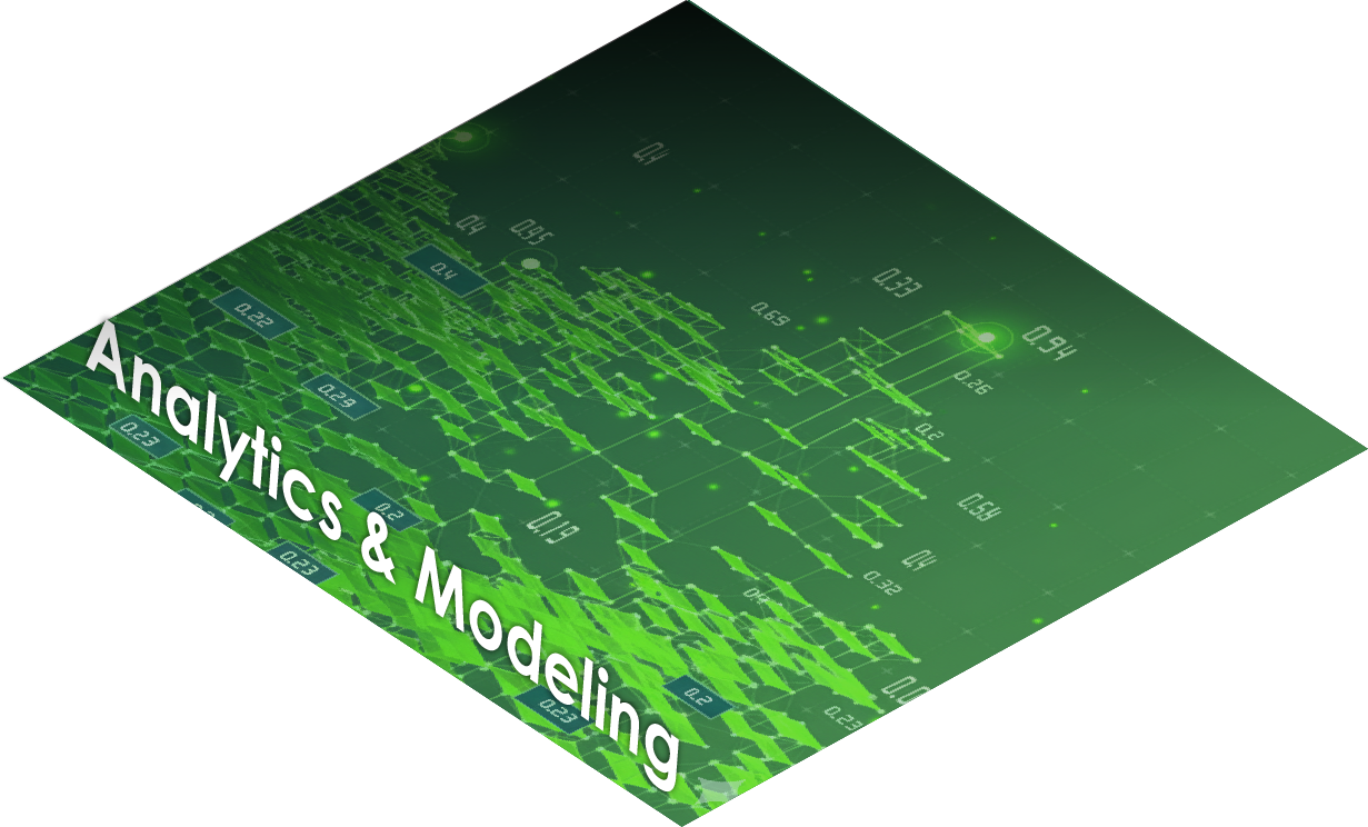
Analytics & Modeling Layer
Focus on insights, not data clean-up
ML-driven forecasting and pattern recognition
Geospatial analysis across integrated datasets
Relationship-aware modeling that tolerates imperfect data
Faster iteration from question to insight

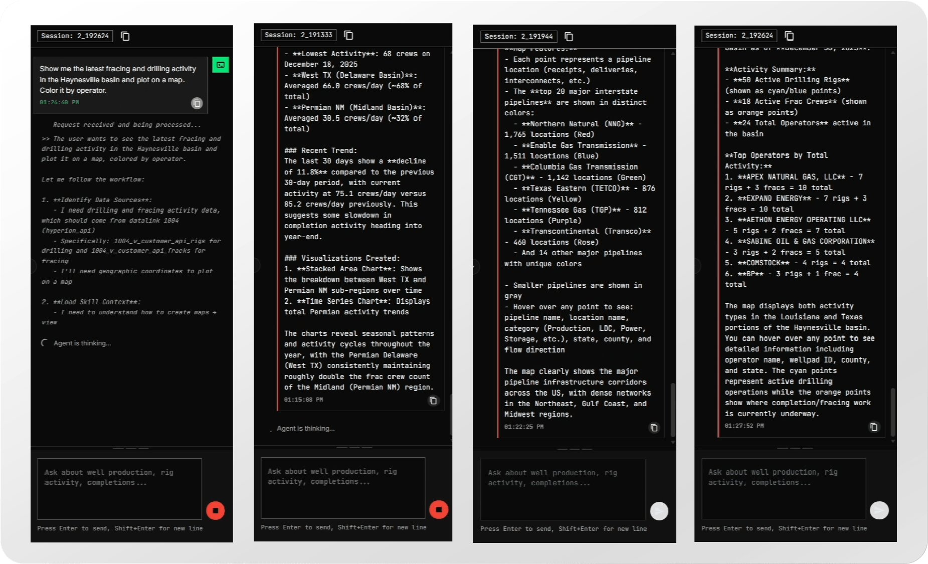
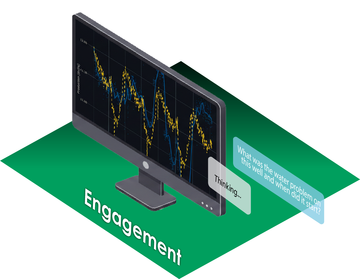
Engagement Layer
Move from insight to action without the friction
Natural-language interaction with basin-wide intelligence
Rapid narrowing from basin view to asset-level detail
Instant follow-ups without re-running workflows
Shared, explainable outputs for technical and non-technical teams